|
|
| |||||||||||||||||||||||||||||||||
|
City of Oakland data set: Zoning |
|
 |
Who maintains the data for this layer: Thomas Casey Data Maintainer Phone: (510) 238-6316 Who converted the data into a GIS format: Jonelyn Whales, Jonathan Lowe GIS Technician Phone: unlisted Size of GIS layer (KB): 896 Size of export file (KB): 2020 Where is the layer stored (on the k-drive): k:\gisdata\cadas\zoning.e00 This GIS layer was last updated on: 12/9/96 This metadata was last updated on: 3/20/97 This layer's FGDC category description is: Cadastral |
|
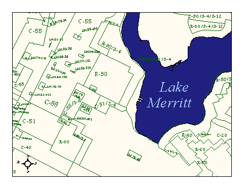
Data Set Description: This layer contains boundaries delineating land uses, such as residential, commercial, industrial and special district zones. Non-standard Attributes in table:
Data Source History:
Beatrice Duffy (formerly of OPB) supplied 358 mylars with zoning, parcel, and street lines and labels to Jonelyn Whales for data conversion to GIS format. Jonelyn scanned the mylars, registered their tic-marks to hand-typed coordinates (Cal StatePlane, Zone III, NAD83) taken from the existing sewer grid. RMS error was limited to 2.0 or less for each image. The images were then rectified (without a clip). Quality Check: No quality control history to date. Security restrictions: No security restrictions. Update Frequency: Quarterly or as indicated by Thomas Casey, OPB Update process:
Jonelyn Whales (OPB zoning department) updates linework and attributes of layer using Arcview 3.0. The updated shapefile is transformed into a coverage and redistributed. |