|
|
| |||||||||||||||||||||||||||||||||
|
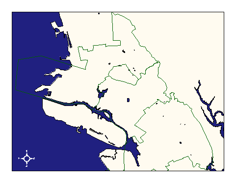
City of Oakland data set: Patrol Areas (sectors) of Oakland Police Department |
|
 |
Who maintains the data for this layer: Thomas Cave (OPD) Data Maintainer Phone: (510) 238-3277 Who converted the data into a GIS format: Julia Howlett GIS Technician Phone: unlisted Size of GIS layer (KB): 136 Size of export file (KB): 52 Where is the layer stored (on the k-drive): k:\gisdata\gover\polsect.e00 This GIS layer was last updated on: 3/3/97 This metadata was last updated on: 3/20/97 This layer's FGDC category description is: Governmental Units |
|
Data Set Description: Patrol Areas (Sectors) are aggregations of patrol districts (and, logically, of beats). These groupings help dispatchers make decisions and also organize the officers below their senior commanders. Non-standard Attributes in table:
Data Source History: Joanne Ward, OCIS, created a field in the police beats layer that indicated which sector each beat was in. Using this field, Julia Howlett (JRH) unified veats in the same sectors (now know as Areas) using ArcInfo's "region" tools. Quality Check: John Burgess of OPD made linework and attribute changes to update the beats from 57 to 34. When the streets layer's accuracy improved, Julia Howlett transformed the updated polsect shapefile into a coverage and made sure it matched the accuracy of the Streets coverage. Security restrictions: No security restrictions. Update Frequency: No updates scheduled. Update process:
Thomas Cave (OPD) updates linework and attributes using Arcview 3.0. The updated shapefiles are then transformed into coverages by OCIS GIS staff and redistributed. |