|
|
| |||||||||||||||||||||||||||||||||
|
City of Oakland data set: Assessor's Parcels--City of Oakland |
|
 |
Who maintains the data for this layer: Frank Kliewer, OPB Data Maintainer Phone: (510) 238-4779 Who converted the data into a GIS format: Julia Howlett GIS Technician Phone: unlisted Size of GIS layer (KB): 60500 Size of export file (KB): 0 Where is the layer stored (on the k-drive): Available on k:\ drive as 12 shapefiles cut along planning area boundaries This GIS layer was last updated on: 12/31/96 This metadata was last updated on: 3/20/97 This layer's FGDC category description is: Cadastral |
|
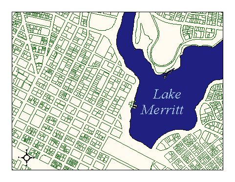
Data Set Description: Parcels delineate the boundaries of property ownership as recognized by the County of Alameda. Each parcel has at least one Assessor's Parcel Number that is its unique identifier within the county. This number is the link to various City of Oakland databases containing parcel information such as owner name and address, property value, and land use. There are approximately 103,000 parcels in the City of Oakland. Because of the large size of this dataset, the original coverage has been subdivided into 50 (??) smaller tiles containing between 2000 and 5000 parcels each. These smaller tiles comform to planning area boundaries and are stored in an Arc/Info library system. Non-standard Attributes in table:
Data Source History:
Geometry: The first source of geometry was EBMUD digital files based upon EBMUD records. Upon examination, these files were revealed to be only 65% complete. Robyn Starr, an independent consultant, was contracted by the OCIS to correct the EBMUD parcels by referring to Office of Planning and Building (OPB) records. Robyn obtained paper maps of parcel boundaries from OPB. They were of various scales, each displaying one planning area and all its parcels on a 3 x 4 foot page. Robyn Starr scanned portions of these paper maps in an overlapping tile arrangement. He then registered and rectified each scanned image using the street centerlines GIS coverage to derive control points. He then corrected the EBMUD lines to match the lines in these scanned images, closing all formerly open parcels and adding or removing lines as necessary. The end result was a series of 12 coverages, one for each planning area, with one closed polygon per parcel. Quality Check:
One automated quality control step is planned to insure that the geometry and its APN assignments are correct. It is: to compare the complete APN list from the GIS parcel layer with the complete APN list from Alameda County Assessor's office. The comparison will reveal which APN's are absent from the GIS parcels. The eventual goal is for a perfect match. Julia Howlett completed this first quality control step. She discovered that approximately 20,000 of the 104,000 APN's were missing from the GIS parcels layer. Security restrictions: No security restrictions Update Frequency: Geometry: Yearly (as assessor updates map book pages)Attributes: Quarterly (January, April, July, & October) Update process:
The data supplier sends OPB updated Assessor's Parcel maps on CD ROM approximately every two weeks. Tiff images on the CD ROM are registered and rectified to a mapbook grid and laid under the parcels coverage as a guide for edits. Edits by an OPB GIS resource are made one mapbook at a time by clipping along the tile boundary and being placed back into the tile structure when complete. |