|
|
| |||||||||||||||||||||||||||||||||
|
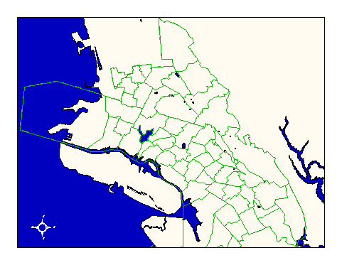
City of Oakland data set: School districts--elementary schools |
|
 |
Who maintains the data for this layer: Gil Brennum, OUSD Data Maintainer Phone: (510) 836-8112 Who converted the data into a GIS format: Jonathan Lowe GIS Technician Phone: unlisted Size of GIS layer (KB): 248 Size of export file (KB): 216 Where is the layer stored (on the k-drive): k:\gisdata\gover\ousdels.e00 This GIS layer was last updated on: 2/25/97 This metadata was last updated on: 3/20/97 This layer's FGDC category description is: Governmental Units |
|
Data Set Description: This layer contains the elementary school district boundaries for elementary schools in the City of Oakland. Non-standard Attributes in table:
Data Source History: Gil Brennum of Oakland Unified School District delivered paper maps of the school district boundaries. Pat Combs of OCIS digitized these boundaries using the center of pavement layer as a base and the paper maps as a reference. Quality Check: The layer was quality checked by Jonathan Lowe, Local Knowledge Consulting. Security restrictions: No security restrictions. Update Frequency: No scheduled updates by OCIS. Update process:
OUSD will notify OCIS GIS staff when updates to the school layers are required and will supply OCIS with shapefiles for conversion to ArcInfo coverages. |