|
|
| |||||||||||||||||||||||||||||||||
|
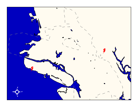
City of Oakland data set: Meteorological data collection stations in Bay Area |
|
 |
Who maintains the data for this layer: Ronald L. Baskett Data Maintainer Phone: (510) 423-6731 Who converted the data into a GIS format: Jonathan Lowe GIS Technician Phone: unlisted Size of GIS layer (KB): 118 Size of export file (KB): 148 Where is the layer stored (on the k-drive): k:\gisdata\other\meteor.e00 This GIS layer was last updated on: 2/28/97 This metadata was last updated on: 3/20/97 This layer's FGDC category description is: Governmental Units |
|
Data Set Description: This layer contains the point locations of 116 Bay Area meteorological stations derived from a 1993 survey by Bay Area Air Quality Management District. Attribute data include the monitor height and the effective radius of data collection for each station. The layer is included in Oakland's Basemap suite of data in order to inform responders where the nearest reliable weather data can be collected given any incident location. Non-standard Attributes in table:
Data Source History: Ronald L. Baskett, Lawrence Livermore National Laboratory, FAX'ed spreadsheet containing Bay Area meteorological stations coordinate listings in UTM projection, NAD27, to Jonathan Lowe, Local Knowledge Consulting, on March 14, 1995. Jonathan typed the coordinates into a text file and then converted them into Cal Stateplane, NAD83, units feet, using Arc/Info's projection utility and two custom AML's called "utm2spc.aml" and "nad2783.aml." He then geocoded the points using ArcView's coordinate geocoding functionality. Quality Check: No quality control activities to date. Security restrictions: No security restrictions. Update Frequency: No updates scheduled Update process:
Update process is not yet defined |