|
|
| |||||||||||||||||||||||||||||||||
|
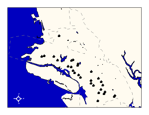
City of Oakland data set: Child Care (Head Start) Centers |
|
 |
Who maintains the data for this layer: Michael Cassidy, OHHS Data Maintainer Phone: (510) 238-3165 Who converted the data into a GIS format: Jonathan Lowe GIS Technician Phone: unlisted Size of GIS layer (KB): 96 Size of export file (KB): 52 Where is the layer stored (on the k-drive): k:\gisdata\other\chldcare.e00 This GIS layer was last updated on: 10/25/96 This metadata was last updated on: 3/20/97 This layer's FGDC category description is: Other (Non-FGDC) |
|
Data Set Description: Locations of child care facilities for children 3 to 5 years of age. Non-standard Attributes in table:
Data Source History:
Mike Cassidy, OHHS, supplied Andrew Hopkins, OCIS, and Jonathan Lowe, Local Knowledge Consulting, with a Microsoft Excel spreadsheet containing a partial listing of Oakland's childcare centers. He supplemented this data with a paper brochure detailing additional Oakland headstart centers. Jonathan and Andrew then combined the two sources into a comprehensive table in ArcView and geocoded this table into a shapefile called "chldcare.shp." Jonathan then converted the shapefile into an Arc/Info coverage (its present format). Quality Check: Centers with addresses that did not match during the geocoding process were telephoned to verify the address and corrected as necessary to achieve a match. Addresses that were confirmed but did not match were left unmatched or were manually placed, independent of address-matching. Jonathan Lowe and Andrew Hopkins performed these quality control steps. Security restrictions: No security restrictions Update Frequency: Yearly, in September Update process:
Mike Cassidy, OHHS, contacts OCIS and supplies a new spreadsheet of centers. OCIS GIS staff then geocode the new centers and append them to the current layer. The updated layer is filed on the k-drive. |